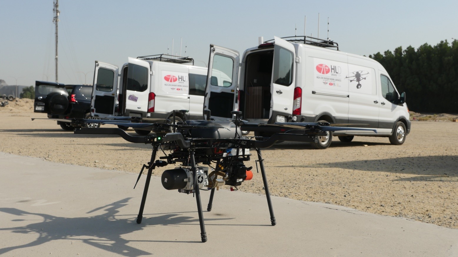
PHOTOGRAMMETRY & TOPOGRAPHY
In today's engineering world, planning, developing, constructing, or maintaining facilities, the planning, precision, and efficiency of photogrammetric or topographic surveys are essential for the success of any project. Therefore, the choice of service provider will determine the result: the equipment, cameras, or sensors used, the pilots and operators who capture the data, the post-processing team, success depends on a combination of factors. At High Line Division Unmanned Systems, with over 10,000 km of LiDAR surveying and countless hectares of photogrammetric surveys, we consider ourselves capable of developing turnkey projects, meeting client requirements with the sole objective of exceeding expectations.
In this scenario, High Line Division Unmanned Systems stands out as a proven supplier, merging knowledge of the latest technologies with unmanned vehicles that stand out for their innovation and safety, carrying state-of-the-art cameras and sensors that guarantee optimal data capture which, with the appropriate post-processing, will yield professional deliverables that serve as a solid foundation for the creation of a very high-quality product with the aim of exceeding the expectations of the most demanding client.
We recognize that every project has unique requirements, which is why at High Line Division Unmanned Systems we offer versatility to meet the diverse challenges our clients may face. Whether a project requires a thorough exploration of an urban area, a survey of a vast expanse of land, or a detailed assessment of a construction site or underground facility, including underwater scenarios, our drones and rovers can be configured and adapted to meet every specific need.
FOTOGRAMETRÍA TRIDIMENSIONAL
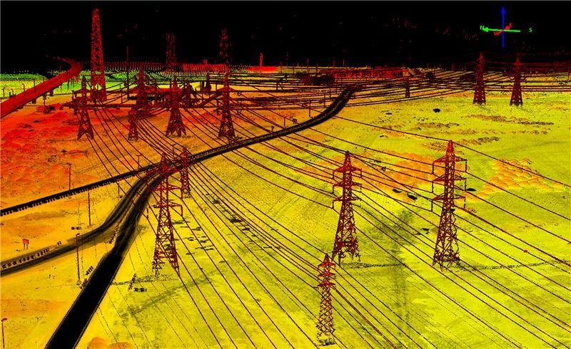
The mobility and agility of our drones unlock operational efficiency that redefines photogrammetric and topographic surveys. Drones offer a faithful, accurate, and comprehensive aerial, terrestrial, or underwater view. The generation of digital twins—three-dimensional models based on high-definition photogrammetry—through meticulously planned missions in both horizontal and vertical planes, provides detailed three-dimensional mapping that offers a complete and realistic view of terrain, buildings, vegetation, and even underwater environments. Our ability to capture data in multiple scenarios allows us a deeper understanding of the environment, which is essential for the planning and design of complex projects.
LIDAR TOPOGRAPHIC SURVEY
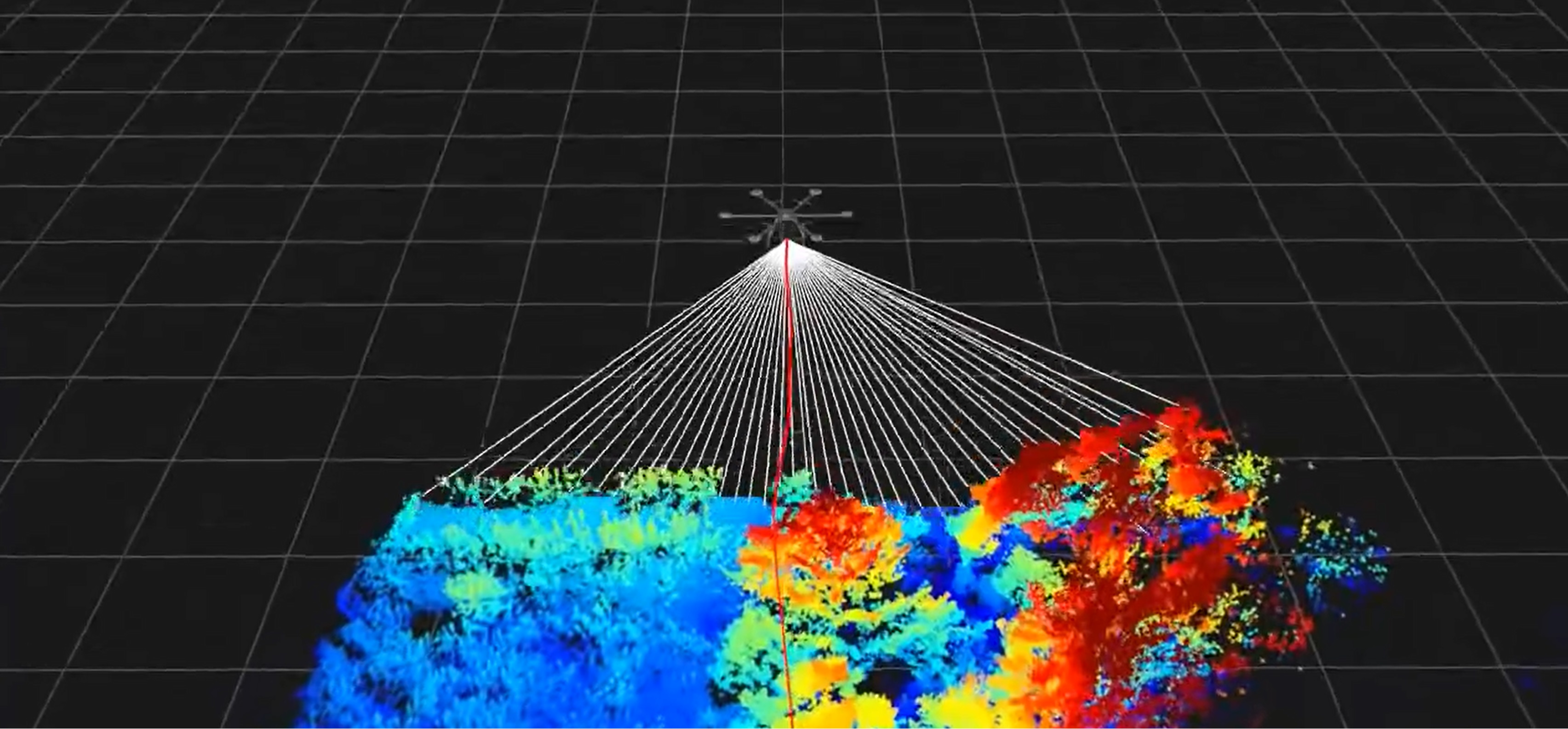
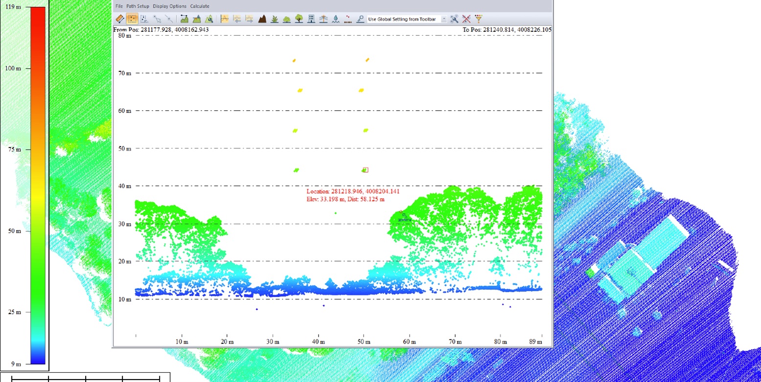
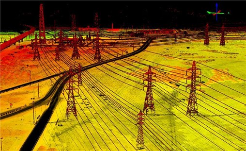
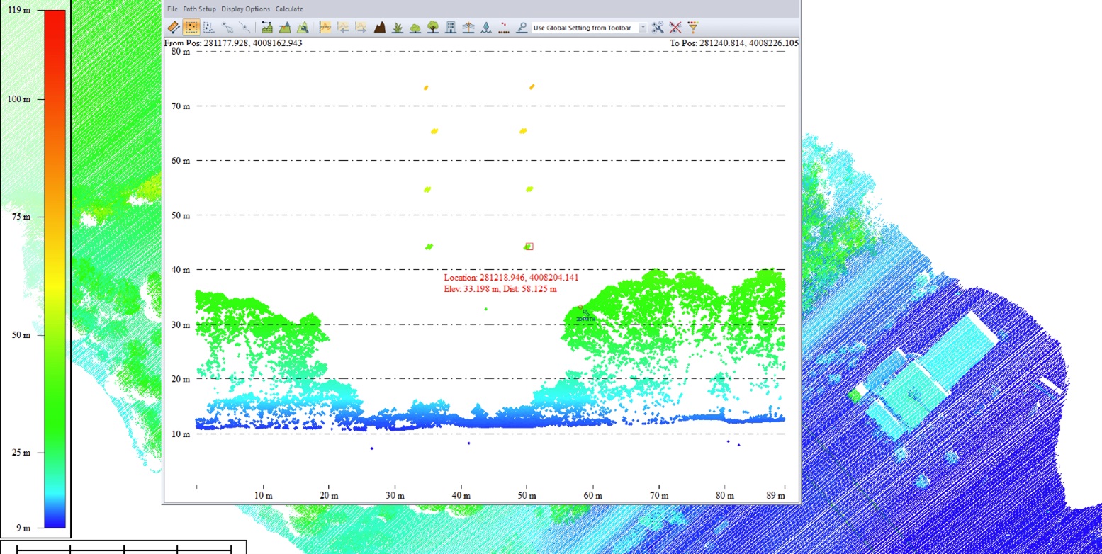
Accuracy is at the heart of any professional topographic survey, and at High Line Division Unmanned Systems, we know that the first step in generating a high-quality point cloud lies in the equipment chosen for the survey: the type of sensor, the equipment's accuracy, and then the operational factors, such as flight altitude, speed, and trajectory. These will define the density of the point cloud and, consequently, the information that needs to be extracted from it. We have the latest equipment on the market, ranging from light aircraft like the DJI Matrice 350 RTK or Matrice 400 with the well-known Zenmuse L2/L3 LiDAR, to more efficient equipment mounted on more powerful aircraft, including hybrid VTOLs with greater flight autonomy. We have carried out nearly 10,000 km of linear inspections of critical infrastructure, making us a valuable partner and a highly regarded strategic collaborator.
Experience is fundamental to the success of any project. At High Line Division Unmanned Systems, we have experienced pilots and technicians who have worked on diverse projects in various locations around the world. We understand that every project is unique; no two projects are alike. However, there is a common denominator: the client expects the best from us. We meticulously study each project and tailor it appropriately, accurately, and effectively, without wasting resources. We guarantee that the drones, equipment, and software used will be capable of meeting the established objectives, exceeding the lifecycle required to complete the project, and that each aircraft/equipment integration is suitable, optimized, and reliable for the specific conditions in which it will be used. Our team will analyze the necessary software for both project logistics management and point cloud classification, as well as for establishing potential hypotheses arising from the specific project.
CONTINUOUS INNOVATION
Innovation is the cornerstone of High Line Division Unmanned Systems. We are committed to continuous improvement and the adoption of the latest technologies in the field of topographic and photogrammetric surveying. Our ongoing investment in research and development ensures that our customers benefit from cutting-edge solutions that evolve alongside available technology.
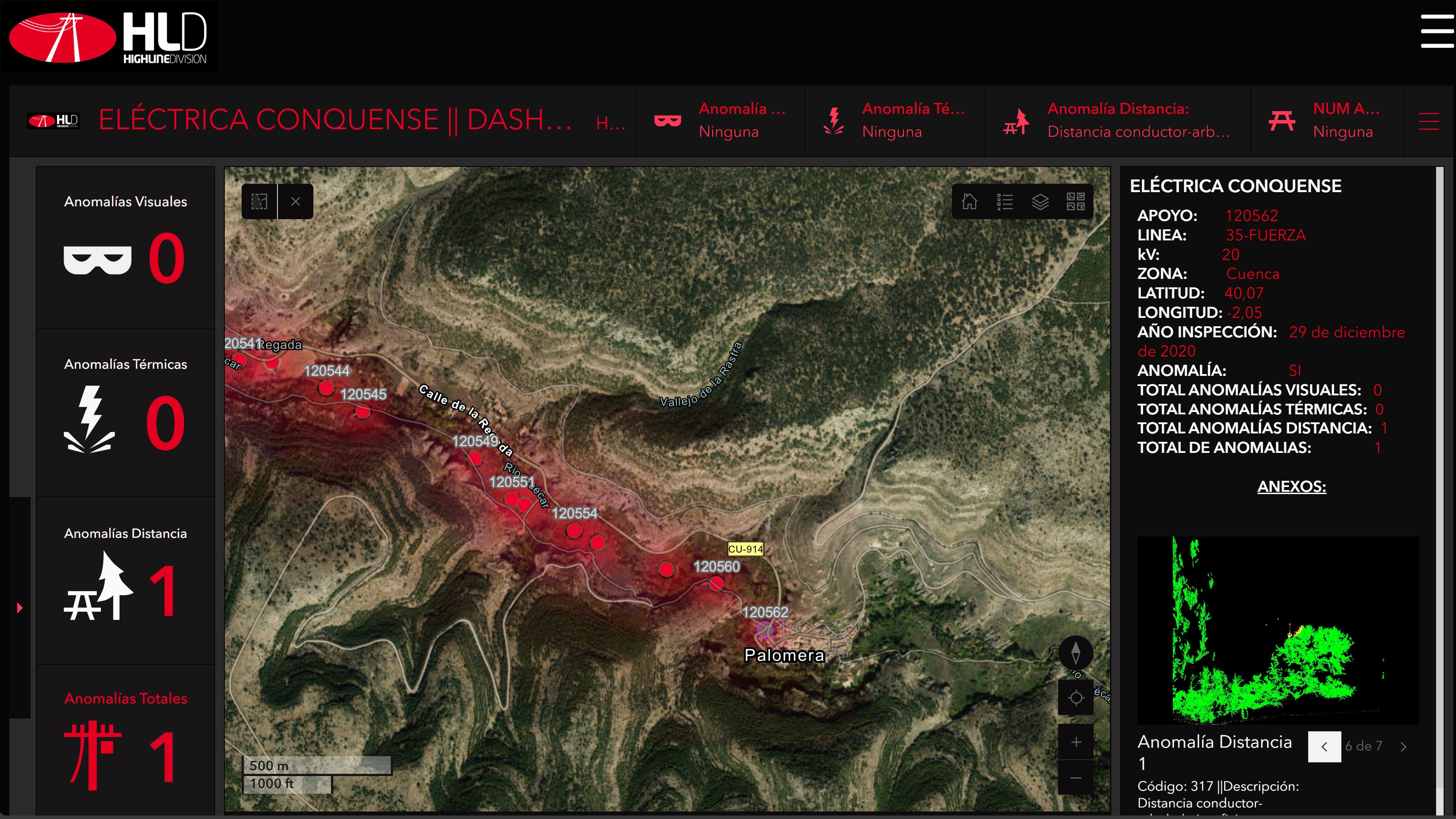
High Line Division Unmanned Systems is not simply a drone services company; we are a company with strategic projects based on transforming data i78nto applied intelligence. From the accuracy of data capture to the operational efficiency of our staff, every aspect of our services is designed to exceed expectations. If you require professional-level photogrammetric and topographic surveys, we invite you to contact us and explore how our team can deliver the efficiency and precision your organization needs for your projects, providing a competitive advantage that goes beyond conventional methods.